Ten Injured After Car Ploughs Into Rugby League Fans in Australia
Darwin, October 04: Ten people, including three children, have been injured after a car crashed into a crowd of rugby league fans in Newcastle, eastern…



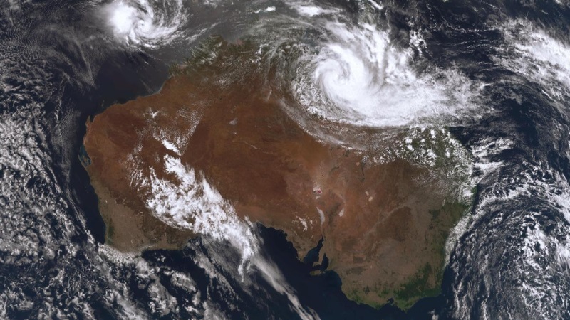
BRISBANE : The Bureau of Meteorology (BoM) has issued a dire warning for large swathes of Queensland as a strengthening monsoon trough prepares to dump “extreme” volumes of rain, with totals expected to exceed 600mm by mid-week.
A low-pressure system within the trough is gaining strength as it migrates from the northwest toward the southeast. Residents between Cairns and Townsville are facing an immediate threat of flash flooding, with up to 260mm of rain forecast to fall within the next 24 hours. Cardwell Gap has already recorded 217mm, currently holding the title of the wettest location in Australia.
Major Flooding Underway
Major flood levels have already been reached at the Gregory River in the state’s northwest. Flood warnings are currently active for the following catchments:
Nicholson
Leichhardt
Norman
Gilbert
Diamantina
Forecast Trajectory
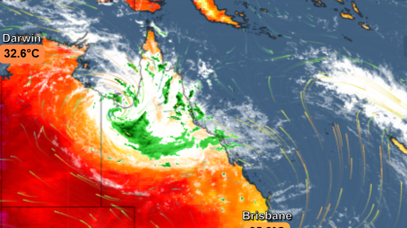
The Gregory River in northwest Queensland is already at major flood levels.
The system is set to batter a massive geographic area, including:
Cairns, Innisfail, Tully, and Ingham.
Mount Isa, Cloncurry, Burketown, Mornington Island, Normanton, and Croydon.
Senior Meteorologist Jonathan How warned that four-day totals could breach 700mm in some areas, and the rain is not expected to cease once the trough reaches the eastern coast. Residents are urged to monitor BoM updates and avoid all non-essential travel.

Darwin, October 04: Ten people, including three children, have been injured after a car crashed into a crowd of rugby league fans in Newcastle, eastern…
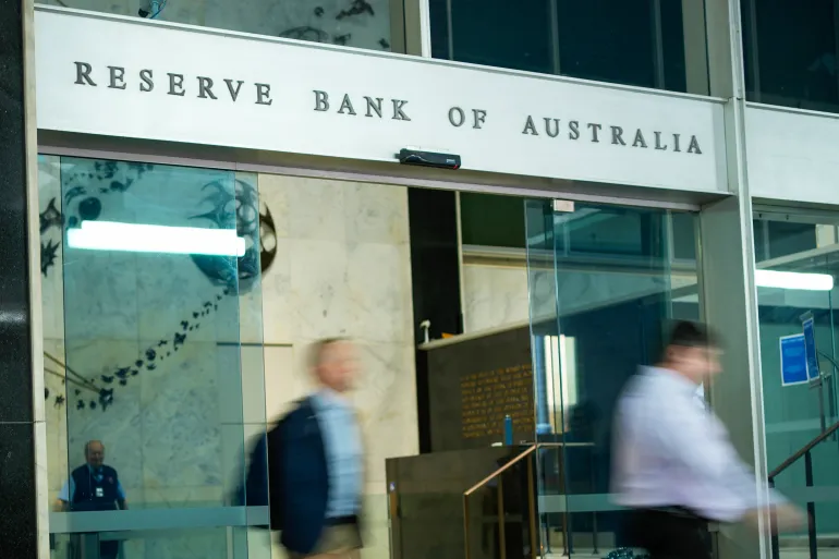
Darwin, October 4: Australia’s central bank has raised interest rates to their highest level in 15 years, increasing mortgage repayments for millions of Australian households….
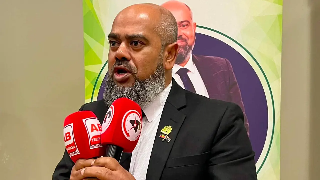
Darwin, September 06: Bangladeshi-Australian community leader and Campbelltown City Councillor and former Deputy Mayor Mohammad Ibrahim Khalil Masud has formally announced his candidacy for the…

Darwin, September 02: Queensland has introduced strict new rules governing the use of e-bikes and e-scooters. From now on, people using these electric vehicles in…

Darwin, August 28: At least 39 Australian citizens are among nearly 1,500 people still missing following devastating flash floods and landslides in areas along the…

Darwin, 28 July : Australia’s new national emergency alert system, AusAlert, successfully completed its first nationwide trial on Monday. At 2:00 pm local time (AEST)…

Darwin, 10 July : India and Australia have signed a significant energy cooperation agreement, including uranium exports, during Indian Prime Minister Narendra Modi’s visit to…
Darwin, 07 July : Local Australian rules footballer and school teacher Nathan Fitzgerald has died after suffering a catastrophic head injury during a match in…