Maha Navami of Sharadiya Durga Puja Celebrated Today
Darwin, October 20: Today is Maha Navami, the ninth day of Sharadiya Durga Puja. Members of the Hindu community will observe the day through religious…



Darwin, 21 November: Northern Australia’s Northern Territory is once again bracing for a tropical threat as Cyclone Fina continues to strengthen. The season’s first major system is expected to regain Category 2 intensity today, with the potential to reach Category 3 within the next 24 hours, according to the Bureau of Meteorology (BOM).
The New York Times and Nine News Australia reported the developments on Thursday.
According to the reports, Fina briefly weakened to Category 1 yesterday after shifting direction toward the Top End. However, by 9:30 pm (11 pm AEDT), the system was already producing wind gusts of around 100 km/h. At that time, the cyclone was positioned about 360 kilometres northeast of Darwin and 135 kilometres north-northeast of Minjilang on Croker Island.
The BOM said Fina is expected to intensify again as it moves toward the Cobourg Peninsula and the Tiwi Islands. The cyclone is forecast to pass through the Van Diemen Gulf on Saturday before strengthening further over the southern Timor Sea by Sunday afternoon.
BOM spokesperson Jude Scott said the system would continue tracking southwest over the coming days. Widespread daily rainfall of 50 to 200 millimetres is expected in the warning zones, with up to 300 millimetres possible near the cyclone’s centre. A flood watch has already been issued for northwestern coastal rivers due to the likelihood of rising waterways.
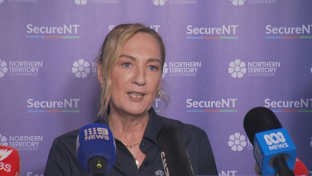
Darwin has now been placed under a cyclone watch, with gale-force winds possible from Saturday morning into the afternoon.
“The impact on Darwin will depend on the cyclone’s eventual path,” Scott said. “If it hugs the Tiwi Islands’ coastline, the effects on Darwin will be less severe. But if it tracks closer to the mainland’s northern coast, Darwin is likely to feel significant impacts.”
The warning area extends from Milikapiti to Maningrida, including the Cobourg Peninsula, Minjilang, and Warruwi. Authorities noted that winds of up to 120 km/h were possible over the Cobourg Peninsula on Thursday night, with destructive gusts reaching 155 km/h possible today as the system approaches the coast.

Darwin, October 20: Today is Maha Navami, the ninth day of Sharadiya Durga Puja. Members of the Hindu community will observe the day through religious…

Darwin, October 05: Deaths in Australia are expected to outnumber births by the 2060s, according to a government report, marking a demographic milestone that countries…

Darwin, October 04: Ten people, including three children, have been injured after a car crashed into a crowd of rugby league fans in Newcastle, eastern…

Darwin, October 4: Australia’s central bank has raised interest rates to their highest level in 15 years, increasing mortgage repayments for millions of Australian households….

Darwin, September 06: Bangladeshi-Australian community leader and Campbelltown City Councillor and former Deputy Mayor Mohammad Ibrahim Khalil Masud has formally announced his candidacy for the…

Darwin, September 02: Queensland has introduced strict new rules governing the use of e-bikes and e-scooters. From now on, people using these electric vehicles in…

Darwin, August 28: At least 39 Australian citizens are among nearly 1,500 people still missing following devastating flash floods and landslides in areas along the…

Darwin, 28 July : Australia’s new national emergency alert system, AusAlert, successfully completed its first nationwide trial on Monday. At 2:00 pm local time (AEST)…